How drones are used in marine surveys
A Demonstration of Apache6 USV for the General Directorate of Water Management (OVF) in Hungary
The context of the marine drone demonstration.
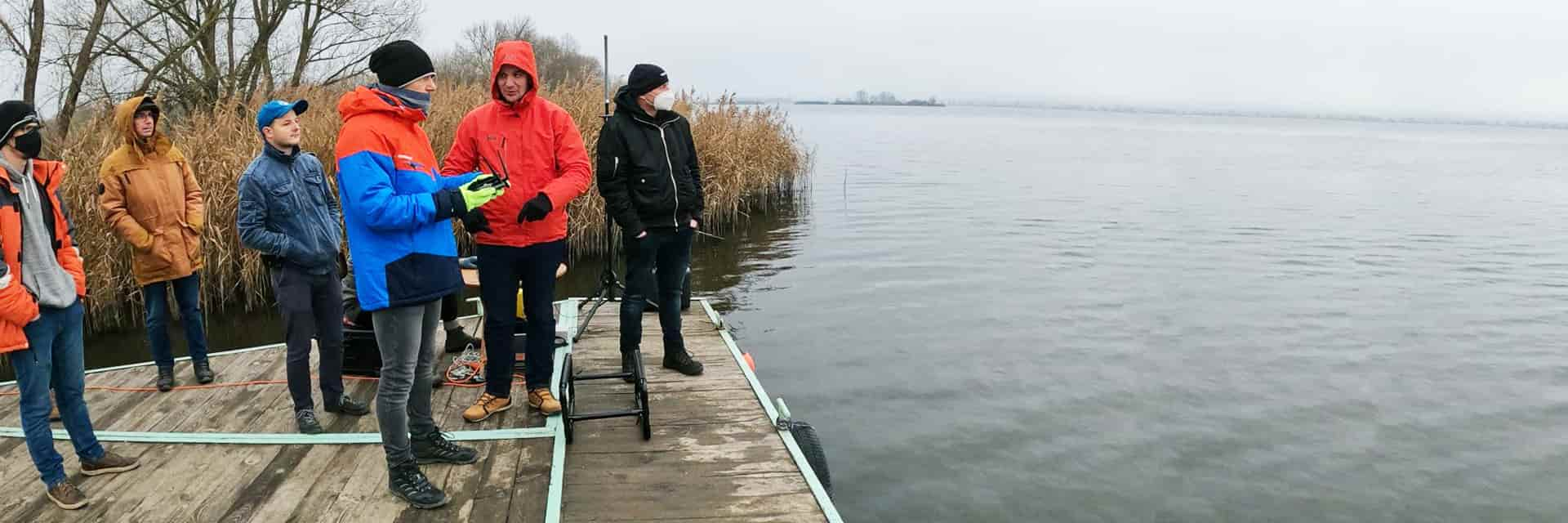
On December 8, 2020, the Department of Spatial Data Technical Service organized a one-day workshop in Kis-Balaton, with the participation of the Trans-Danube Water Council. During this event, CHC Navigation and Norbit Hungary (a global provider of multibeam sonars) conducted a demonstration to present the capability of the Apache6 USV for the Directorate General of Water Management (OVF).
How using drones in marine survey can increase productivity?
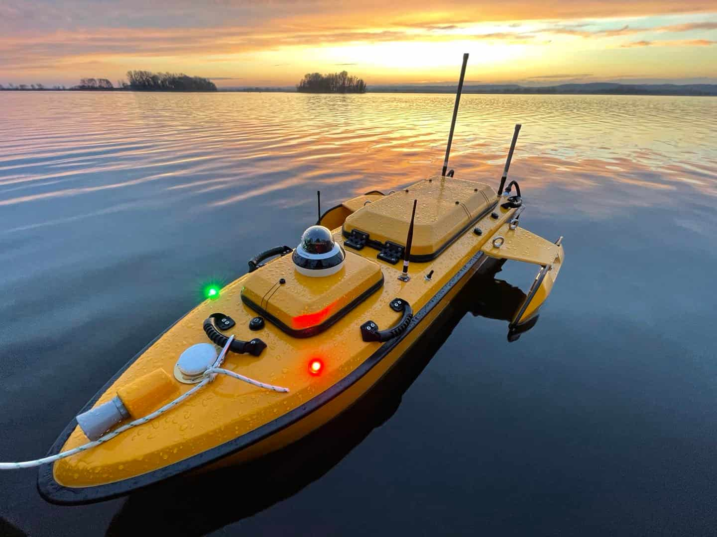
During the live demonstration, experts from CHC Navigation and Norbit presented the characteristics, operation and results of advanced bathymetric survey measurements with unmanned marine drones. The Apache6 USV is easy to install and operate. Weighing only 15 kg, two operators can handle most remote deployment conditions.
Like an aerial drone, the Apache6 has an auto-return feature and uses sonic radar (sonar) to avoid obstacles. Its fully autonomous survey mode is powered by the absolute straight-line CHCNAV technology, so the vessel follows a predetermined trajectory even under adverse current conditions.
The 2020 Edition of the Apache6 USV (unmanned surface vessel) was launched in May 2020. It combines a dual GNSS positioning and heading sensor, stable and reliable hull attitude and an inertial measurement unit (IMU). CHCNAV's GNSS/INS control unit maintains high accuracy during GNSS transient outages, assuring uninterrupted surveying while passing under bridges.
How using LiDAR scanners can extend the boundaries of marine survey applications?
In addition to 3D bathymetric surveys, marine drones are used for the positioning of underwater objects, construction of ports, offshore installations, underwater archaeology, marine salvage and wreck removal. The CHCNAV Apache USV Series are equipped with high-performance single-beam or multibeam echo sounder and can be complemented with a surface LiDAR to create a combined high-precision marine and terrestrial 3D survey in a single pass, such as for port and river surveys with height clearance evaluation.