Deliver accuracy to your geospatial projects with CHC Navigation.
Learn More + Go to Geospatial2021-11-18
China’s National Science and Technology Progress Award
Shanghai, Nov. 03, 2021 – CHC Navigation (CHCNAV) [Huace:300627.SZ], a leading GNSS navigation and positioning technologies company in China that specializes in land and airborne surveys, conventional GNSS surveys, 3D mass data acquisition, and real-time GNSS infrastructure, today announced that its integrated LiDAR technology for surveying and mapping applications won the second prize of China’s National Science and Technology Progress Award.
Figure 1. The National Science and Technological Progress Prize
The National Science and Technological Progress Prizes are the highest honors conferred by the national government of the People’s Republic of China in science and technology. The award is granted to individuals or organizations that have made outstanding contributions in technology R&D and innovation, the application of advanced scientific and technical accomplishments, the promotion of high-tech industrialization, and projects of significant science technologies.
CHCNAV stood out this year for its AlphaUni LiDAR series, featuring a flexible design for marine, land, and airborne surveys, and the AlphaAir 450 laser scanner generates accurate, high-density 3D point clouds for road corridor mapping, forestry, utility maintenance, and more.
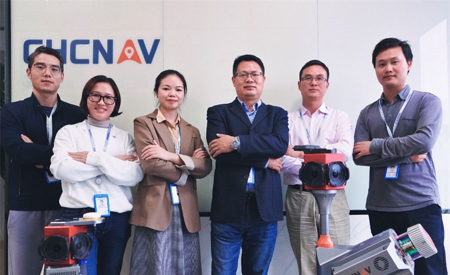
Figure 2. Representatives of the CHCNAV’s mobile mapping solutions team in China
With established experience in real-time precision GNSS, scanners, airborne drones, and advanced 3D point cloud algorithms, CHCNAV creates advanced hardware and software solutions for mapping and geospatial mass data acquisition, processing, and maintenance. The mobile mapping solutions include the latest developments in laser scanning pertinent to the geospatial community and the accelerating demand from smart city applications worldwide. The following are CHCNAV’s mobile mapping solutions by integrating the centimeter-level spatial techniques.
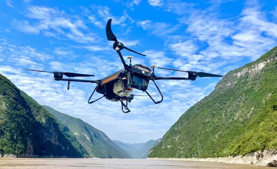
Figure 3. Alpha Uni 900 and BB4 run the mapping task
AlphaAir 450 is the latest CHCNAV Lidar system for power line inspection, topographic mapping, emergency response, agricultural and forestry surveys, and more. This all-in-one, lightweight and rugged system integrates a high-performance laser scanner with a professional 24 MP camera and a high-precision inertial navigation system for quality data collection.
The AlphaUni 900/1300 are long-range, multi-platform LiDAR systems with the Waveform-LiDAR technology from RIEGL and a high-accuracy inertial navigation system, ready for demanding surveying missions in the air and on the ground, requiring the highest quality of data.
The Alpha3D is a high-performance 3D mobile mapping solution that combines a precision laser scanner with a 30 MP HDR panoramic camera and advanced GNSS and IMU technologies. It provides fully calibrated, low-noise, high-density point clouds for faster, higher quality data collection and increased productivity. The Alpha3D has two ports for additional laser scanners and a connector for a second GNSS antenna, allowing for further improvements in point cloud accuracy and density.
____
About CHC Navigation
CHC Navigation (CHCNAV) creates innovative GNSS navigation and positioning solutions to make customers' work more efficient. CHCNAV products and solutions cover multiple industries such as geospatial, construction, agriculture and marine. With a presence across the globe, distributors in more than 100 countries, and more than 1,300 employees, today CHC Navigation is recognized as one of the fastest-growing companies in geomatics technologies.
Have a question about our solutions or dealership opportunites