Deliver accuracy to your geospatial projects with CHC Navigation.
Learn More + Go to Geospatial2022-05-31
The Apache 3 USV was used in the digital bathymetry mapping and the Glacial Lake Outburst Floods Modeling (GLOF) in Tajikistan
For the first time in Central Asia, the Aga Khan Agency for Habitat (AKAH) used the APACHE 3 unmanned surface vehicle (USV) to conduct a bathymetric survey to estimate lake water volume and assess the impact of glacial lake outburst floods on local communities. Instead of operating a manned RV in hard-to-reach locations, the new unmanned technology allows the survey to be conducted safely, using a remotely operated vessel and provides a 3D visualization of the lake topography.
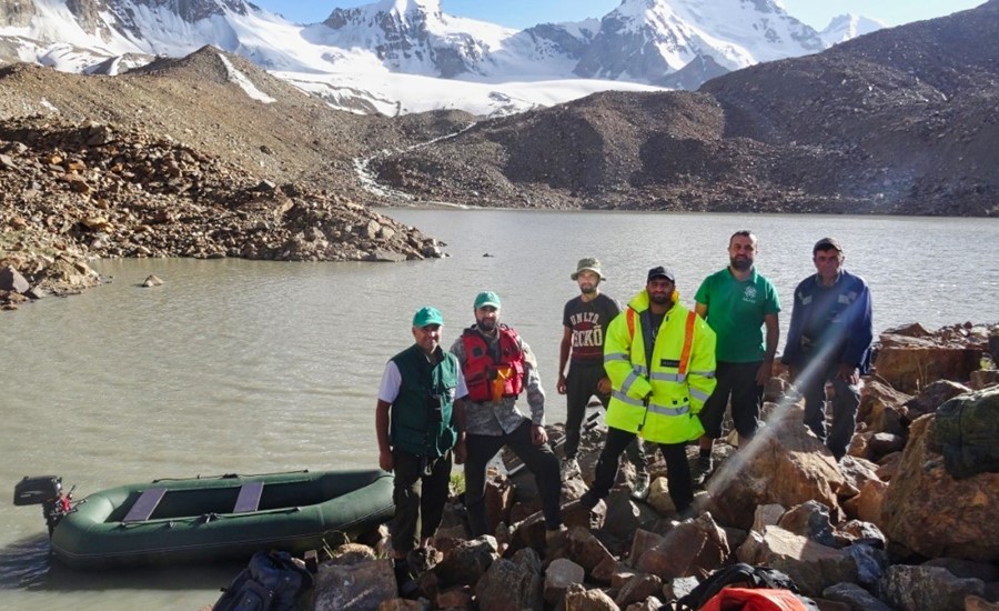
Figure 1. The Aga Khan Agency for Habitat (AKAH) in Tajikistan.
The AKAH was established in 2016 to provide assistance and training to communities that have been impacted by hurricanes, cyclones, avalanches, tsunamis, floods, earthquakes, and civil conflict. The organization works with communities to understand vulnerabilities and protect them from potential natural hazards, aims to ensure that people can live in safe, sustainable, and resilient habitats and have the opportunity to thrive, whether in remote mountain villages, towns, or densely populated urban centers. Combining scientific analysis with local knowledge and community participation, AKAH has conducted hazard, vulnerability, and risk assessments (HVRAs) for more than 2,500 settlements, covering nearly 3 million people. These assessments and satellite data feed into a comprehensive GIS database for disaster risk analysis and forecasting. In addition, the assessment of more than 33 glacial lakes in remote areas has been completed.
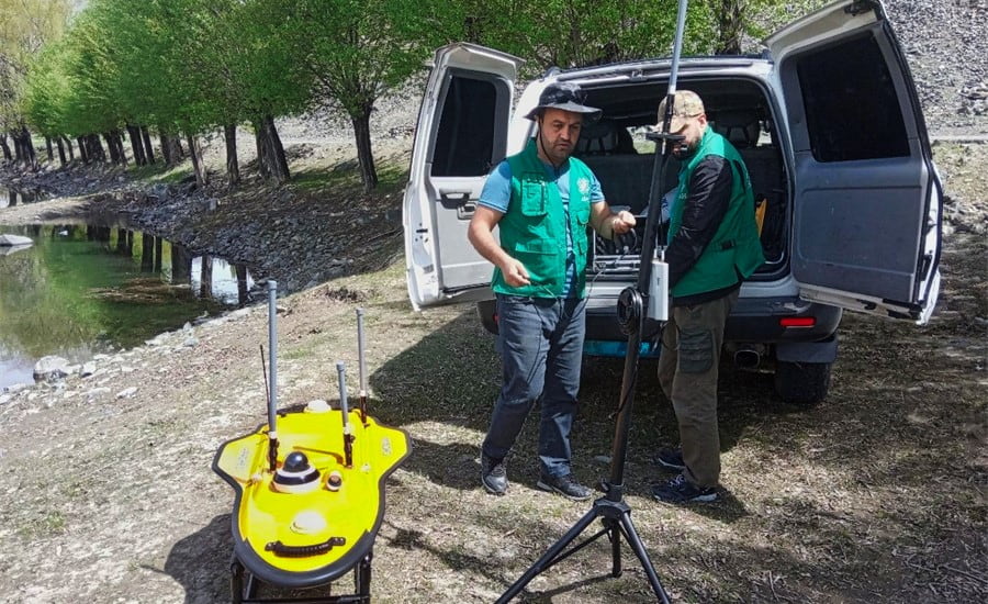
Figure 2. The preparation of Apache 3 for a bathymetric mapping of a lake.
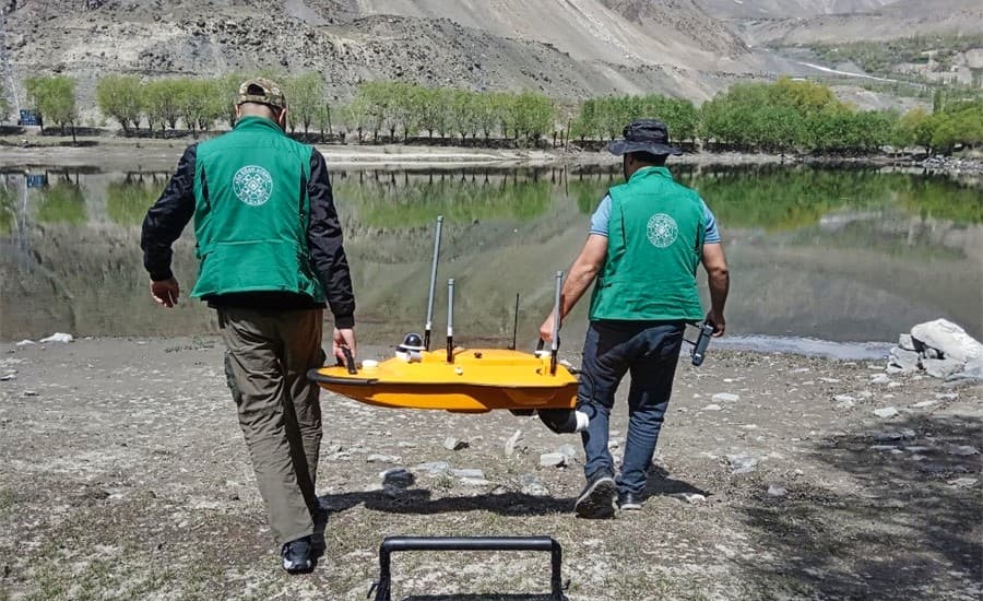
Figure 3. Transportation of Apache 3 USV to the lake for a survey.
In this project, the Apache 3 helped surveyors map Tajikistan's lakes' digital underwater topography and provided valuable data for GIS analysis and flood modeling. APACHE3 is a portable, shallow draft boat equipped with a single-beam echo sounder for bathymetric surveys. In addition, it combines a dual GNSS positioning and heading sensor for a stable and reliable hull attitude and an IMU sensor to provide high accuracy navigation.
____
About CHC Navigation
CHC Navigation (CHCNAV) creates innovative GNSS navigation and positioning solutions to make customers' work more efficient. CHCNAV products and solutions cover multiple industries such as geospatial, construction, agriculture, and marine survey. With a presence across the globe, distributors in more than 100 countries, and more than 1,300 employees, today CHC Navigation is recognized as one of the fastest-growing companies in geomatics technologies.
Have a question about our solutions or dealership opportunites