CHCNAV | Make your work more efficient
Surveying & Engineering
Advanced GNSS and optical solutions to make your surveying and engineering projects more productive.

Mapping & Geospatial
Mobile mapping solution for 3D mass data acquisition.

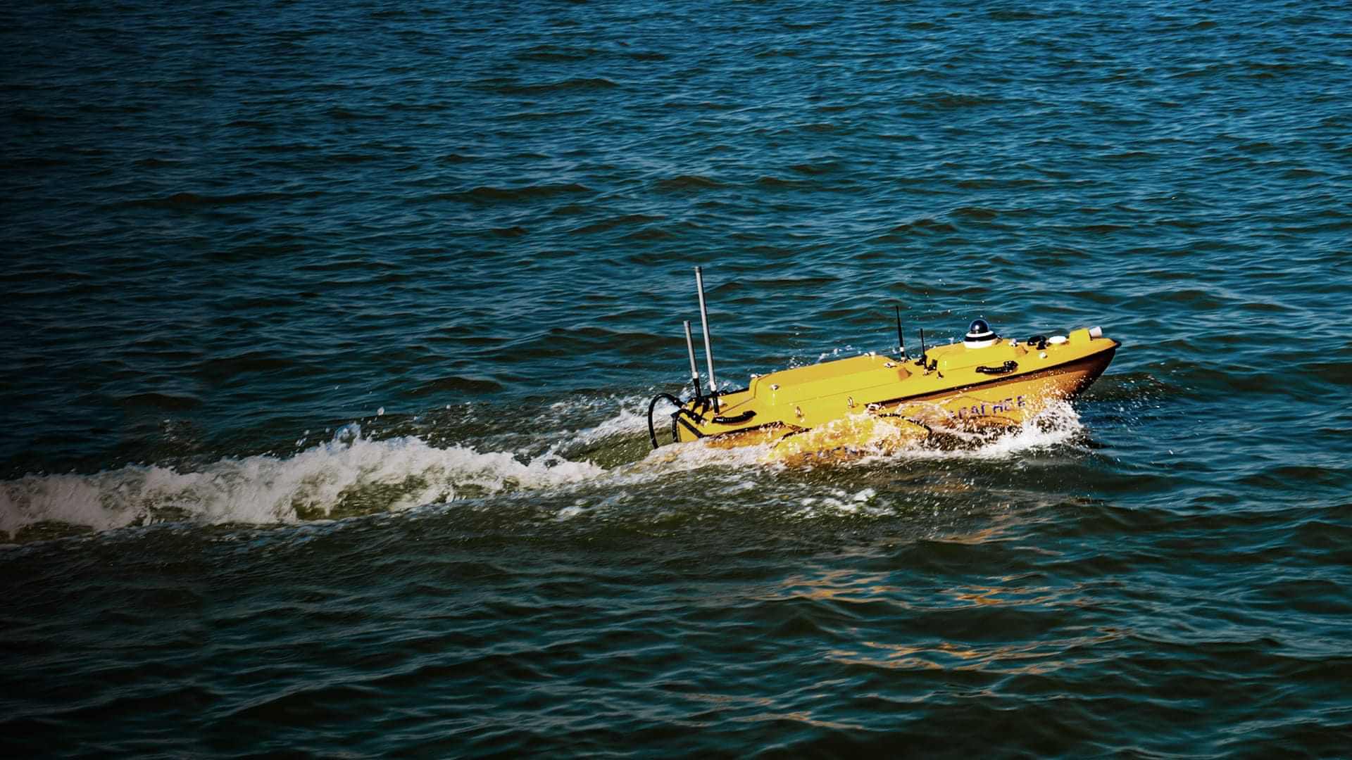
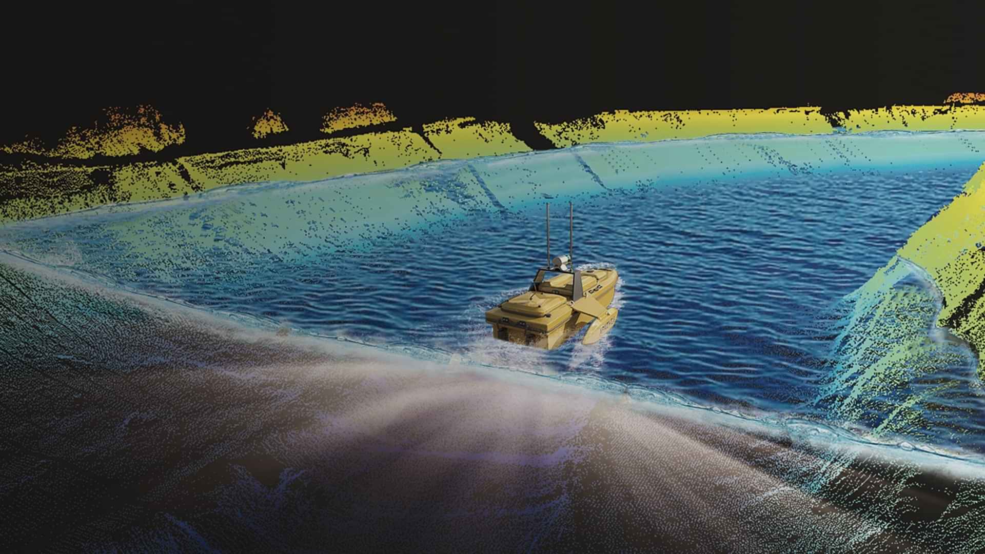
Marine Construction
High-performance USVs, GNSS sensors, and echo sounders for marine survey and construction professionals.
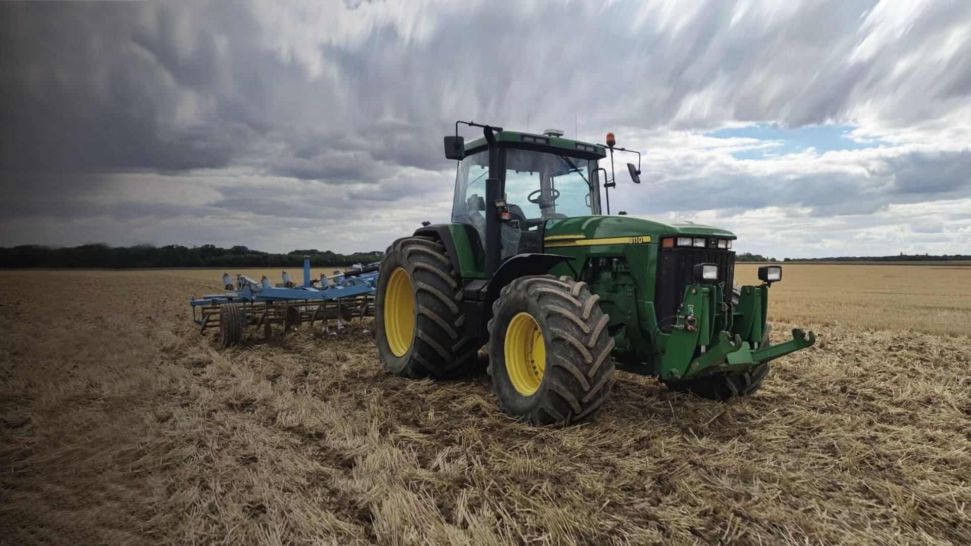
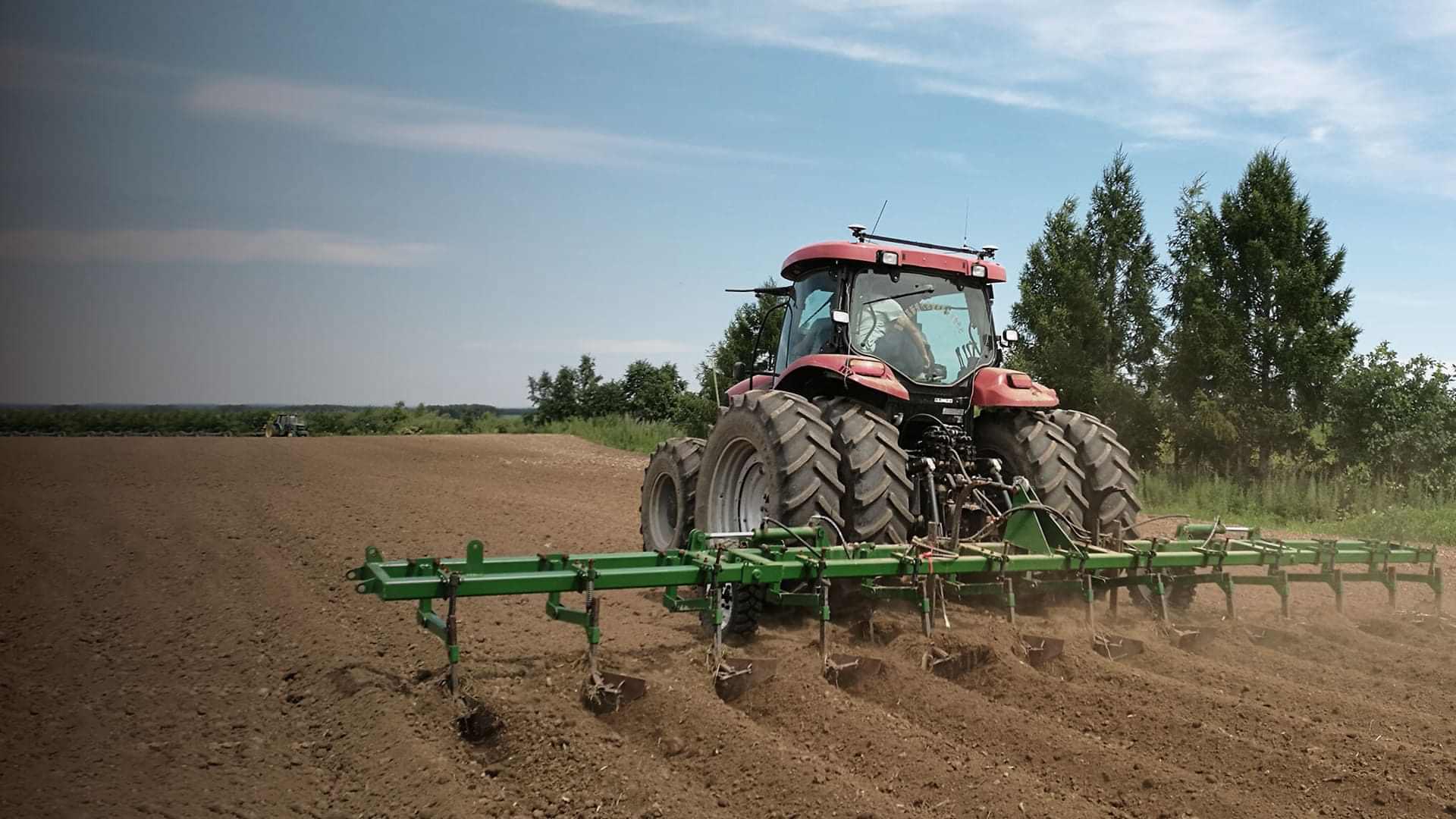
Precision Agriculture
RTK auto-steering systems and GNSS base solutions for all farm sizes.
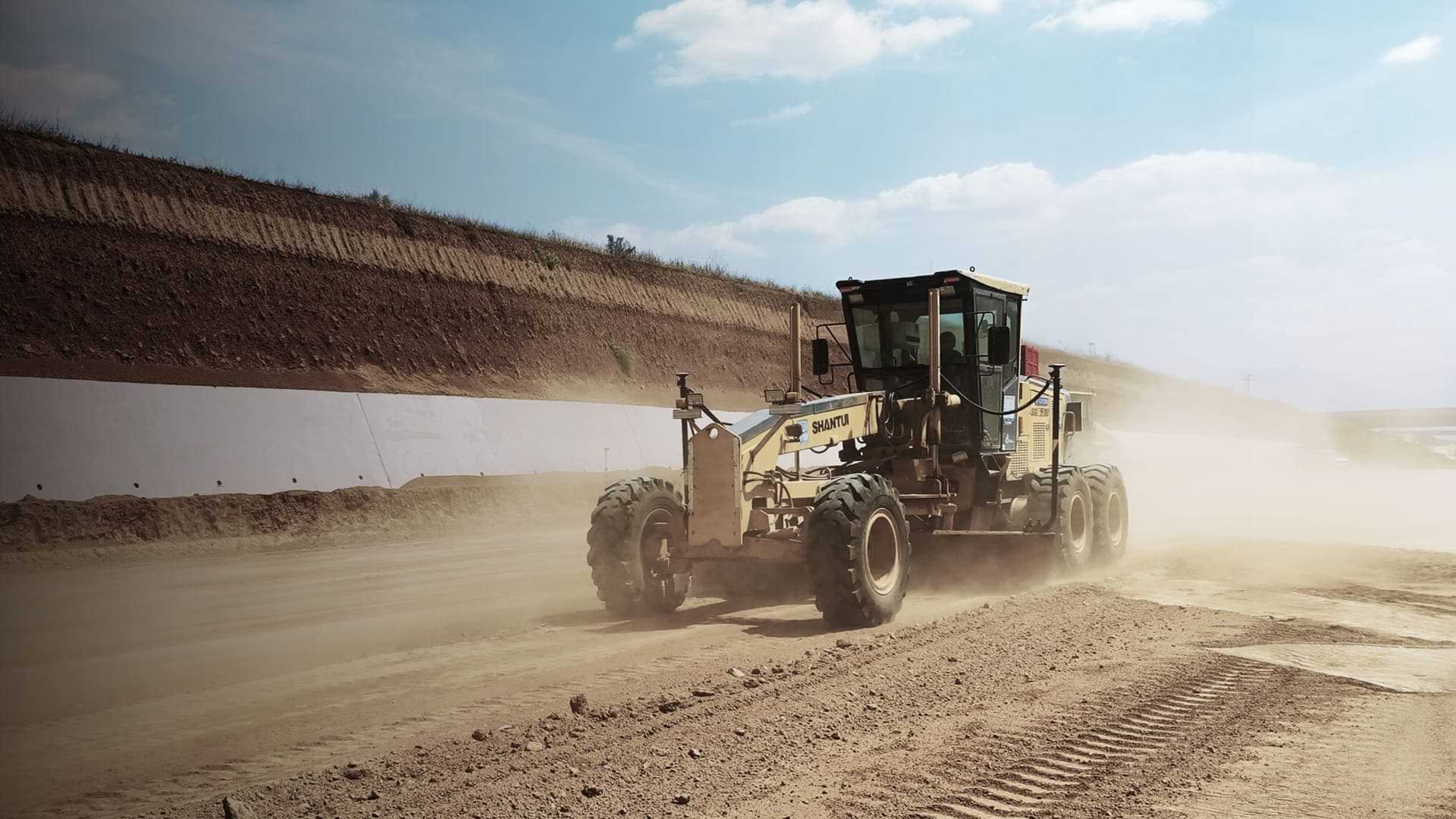
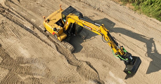
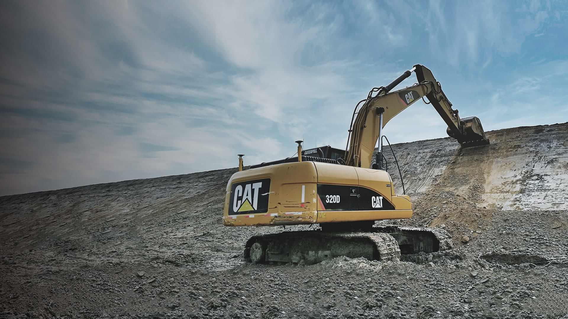
Machine Control & Construction
High-productivity GNSS sensors and solutions.

News


Industries
-
Surveying & Engineering
We develop and deliver advanced solutions to make surveying & engineering more productive. From post-processing geodetic GNSS receivers to the GNSS IMU RTK antennas, our solutions cover a wide range of applications such as construction and geodetic surveys or layout planning.


-
Machine Control & Construction
We provide solutions for the entire site, from GNSS rovers with CAD field surveying software to GNSS machine control technologies for excavators, dozers, compactors, and motor graders. Our systems bring significant gains in productivity, accuracy, and speed to any earthmoving application.


-
Mapping & Geospatial
CHCNAV creates advanced hardware and software solutions for mapping and geospatial mass data acquisition, processing, and maintenance. Our lidar and airborne drones reflect the latest developments in laser scanning technology and meet the accelerating demand for smart city applications worldwide.


-
Infrastructure
Our GNSS infrastructure solutions, such as GNSS sensors, antennas, and server-based computing software, deliver consistent, reliable, and accurate real-time GNSS data for high-precision positioning and navigation applications, from GNSS RTK networks to structural deformation monitoring.


-
Marine Construction
CHCNAV's USVs, rugged GNSS positioning and heading sensors, ADCPs, and echo sounders provide a comprehensive set of solutions for hydrographic surveying, engineering, and construction professionals, delivering accurate positioning performance for typical bathymetric survey and mapping tasks.


-
Precision Agriculture
Easy to use and affordable, CHCNAV's GNSS RTK autosteering systems and network solutions dramatically increase farmers' productivity and reduce environmental impact of agriculture. Our auto-steering kits for farming machines provide farmers with higher yields, save time, and generate savings on chemicals and fuel.


-
Navigation & Positioning
With our engineering expertise and lean manufacturing process, we provide customized GNSS solutions to industrial partners and system integrators. Our OEM solutions consist of state-of-the-art GNSS sensors for all static and dynamic applications, as well as GNSS boards for integration into robotic and unmanned vehicle platforms.


Chcnav At a Glance
CHC Navigation is a publicly-listed company creating Innovative GNSS Navigation and Positioning Solutions.
With a global presence across the world, CHC Navigation is today recognized as one of the fastest-growing companies in Geomatics Technologies.
-
Founded in
2003

-
Worldwide Sales & Customer Support
200+

-
Satisfied Customers
200000+

-
Multinational Global Workforce
1700+

-
R&D Engineers
700+

-
GNSS and Related Patents
400+
